Hike · Summer
The Rinnensee
- Duration
- 1 h 30 min
- Distance
- 2.8 km
- Ascent
- 509 m
- Highest point
- 2650 mfrom 2147 m
- Difficulty
- T2 · Red mountain trailSAC hiking scale · ÖAV mountain trails
- Start / finish
- Neustift im Stubaital
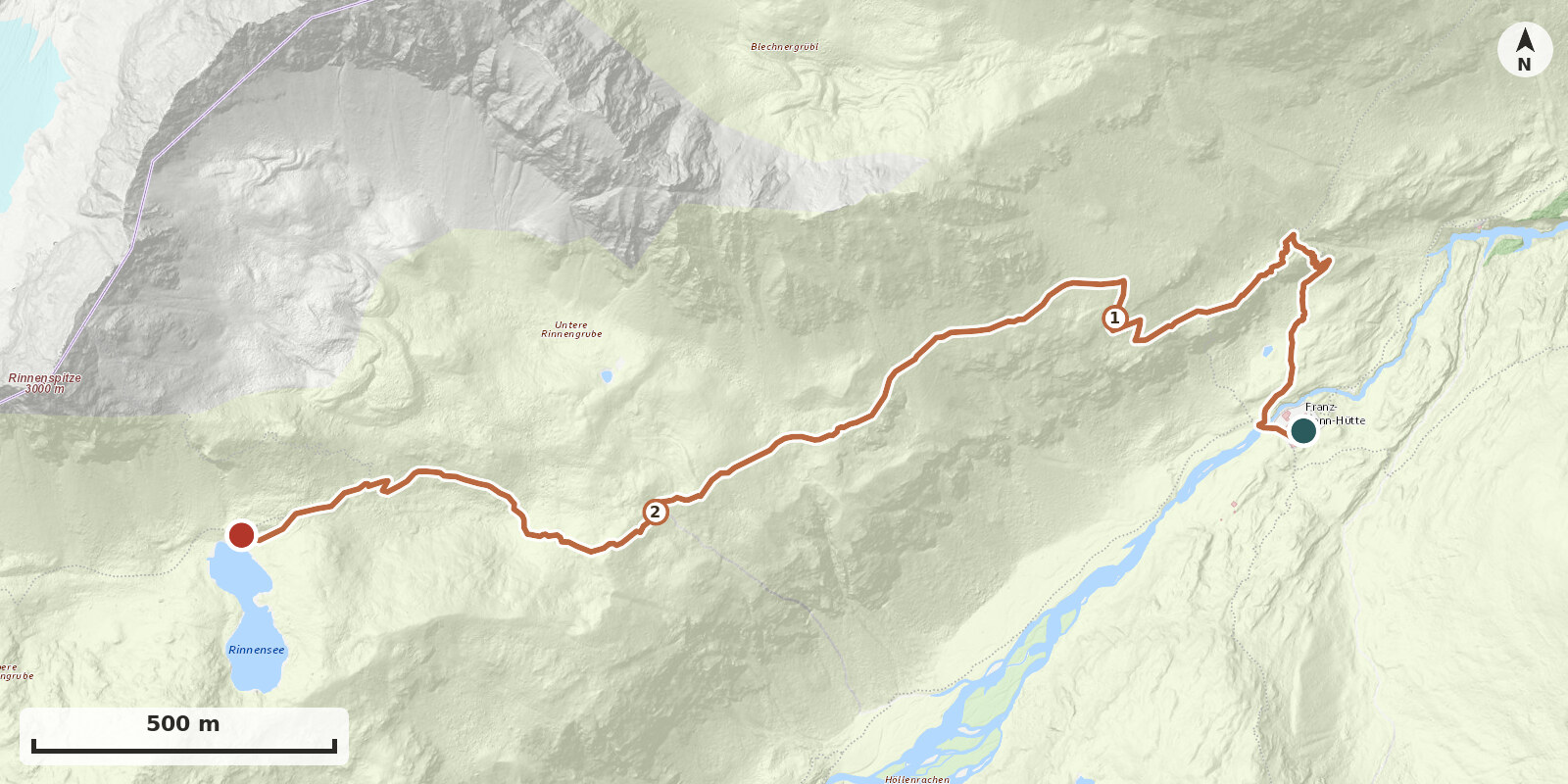
The Rinnensee at 2646 m is one of the most beautiful mountain lakes in the Stubaier Alps and is the most popular hiking destination of the Franz-Senn-Hütte. Its figure-eight-shaped basin lies in a hollow below the Rinnenspitze; depending on the light, the water changes from turquoise to deep blue and reflects the surrounding peaks. The path is continuously marked and without difficulties.
Route: Behind the hut, cross the bridge over the Alpeiner Bach and immediately afterwards turn right onto the marked path towards Starkenburger Hütte. After about 10 minutes, the path to the Rinnensee branches off to the left. Initially quite steep through the grassy slopes above the hut, then more moderate over the sunny, grass-covered south side steadily ascending; higher up the path becomes rockier and crosses block terrain, but remains well laid out. After about 1 to 1½ hours, you reach the junction to the Rinnenspitze (right) at around 2600 m. To the left, it is another 5 to 10 minutes to the shore.